Nobody's Land: The New England Village That Paid Taxes to the Wrong State for Almost a Century
Borders feel permanent. Lines on maps carry the weight of law, history, and — occasionally — wars fought to establish exactly where one place ends and another begins. Americans tend to assume those lines were drawn carefully, checked twice, and set in stone by people who knew what they were doing.
Those Americans have never spent much time studying colonial-era surveying.
The Problem With Early Maps
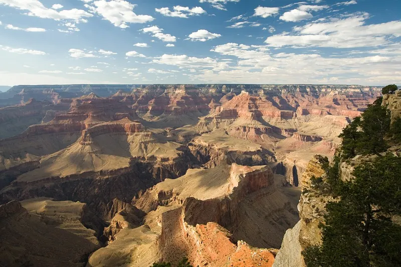
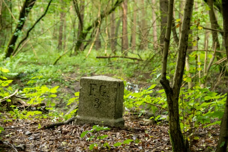
In the 1700s, drawing a boundary line between two territories was a genuinely difficult technical challenge. Surveyors worked with magnetic compasses that could be thrown off by local geology, measurement chains that stretched and contracted with temperature, and reference points that sometimes existed more in legal documents than in the physical landscape. A line that looked clean on paper could wander by hundreds of feet — or more — when someone actually tried to walk it through dense New England forest.
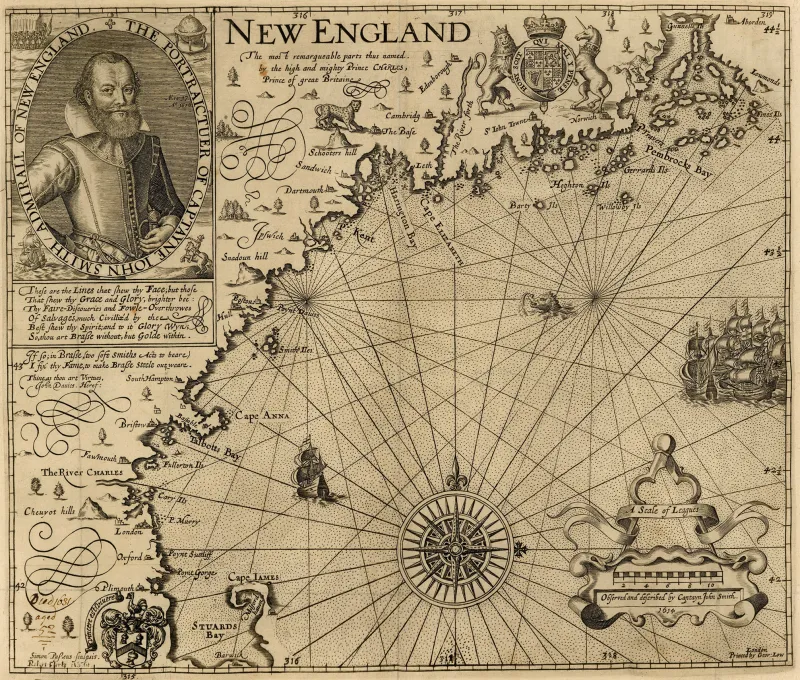
The border between New Hampshire and Vermont was established through exactly this kind of imprecise process. The two states share a boundary running roughly along the Connecticut River, but the specific placement of that line in various locations was determined by surveys conducted at different times, by different teams, with equipment that wasn't always consistent from one expedition to the next.
The result, in at least one documented case, was a strip of territory that ended up on the wrong side of the line — administered by Vermont, taxed by Vermont, and represented in Vermont's government — despite being, by any accurate reckoning, part of New Hampshire.
Life on the Wrong Side of the Line
For the residents who actually lived in the affected area, the misclassification was, for most of its history, essentially invisible. You paid your taxes. You voted in local elections. You sent your children to the school that the town provided. Whether the man collecting those taxes was technically operating under the correct state charter was not a question that came up at the general store.
This is one of the more quietly fascinating aspects of the story: the border error didn't create chaos. It didn't produce a lawless no-man's-land or a community of rebels rejecting outside authority. It produced something far more mundane — ordinary civic life, proceeding normally, built on a foundation that was quietly, completely wrong.
Property deeds were filed in the wrong county. Legal disputes were adjudicated under the wrong state's statutes. Men registered for militia duty in a state that, by strict geographic logic, had no jurisdiction over them. And because none of these transactions produced immediate, obvious problems, nobody pushed hard to examine whether the underlying premise was correct.
Government, it turns out, is very good at functioning on autopilot even when the autopilot is pointed at the wrong destination.
When Someone Finally Noticed
The precise timeline of how and when the error was formally identified varies depending on which historical account you consult — a fitting ambiguity for a story about documentation failures. What's consistent across the record is the general shape of the discovery: a resurvey, conducted at some point after the original boundary work, turned up a discrepancy significant enough that it couldn't be quietly absorbed into the margin of error.
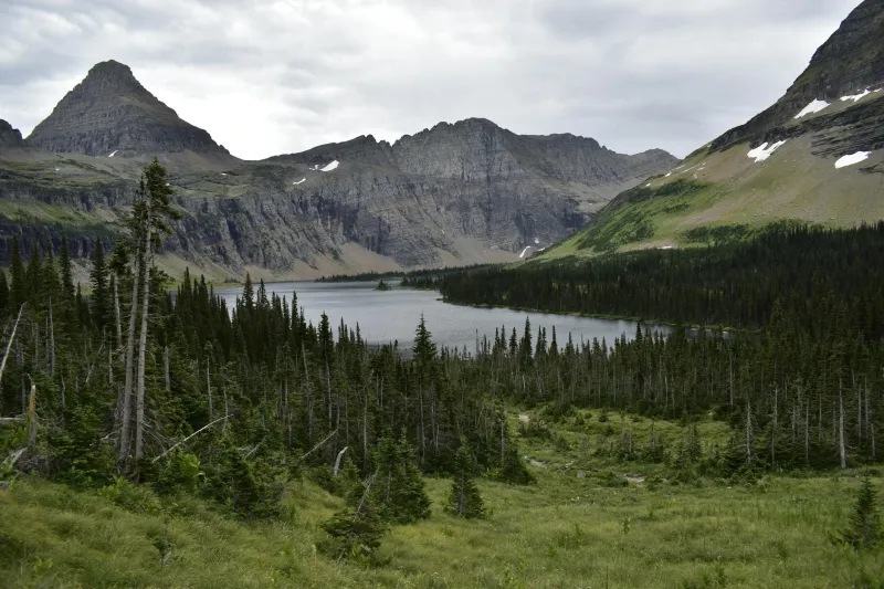
The strip of territory in question wasn't enormous. We're not talking about a major population center or a strategically vital piece of real estate. We're talking about a modest slice of rural New England — farms, woodlots, maybe a handful of families — that had been quietly misfiled in the administrative ledger of American governance for the better part of a century.
Which may explain why the response, once the error was confirmed, was something less than urgent.
The Part Where Both States Shrug
Here is where the story tips from merely strange into genuinely comedic, at least by the standards of civic administration.
When a boundary error is discovered, the logical expectation is that the affected governments will move quickly to resolve it — reassign the territory, transfer the records, notify the residents, and update the maps. Clean, efficient, done.
What actually happened was considerably more leisurely. Vermont, which had been collecting taxes from the territory for decades, was not especially enthusiastic about acknowledging that those taxes had been collected without proper authority. New Hampshire, which stood to gain jurisdiction over the land, was apparently not in a tremendous hurry to absorb a small rural district that came packaged with potential legal complications and no obvious upside.
The residents themselves occupied an awkward position. Some had lived their entire lives under Vermont governance. Their property records, their court filings, their family histories — all of it was tangled up in a state that was now being told it had no legitimate claim to them. Untangling that paperwork was nobody's idea of a good time.
The resolution, when it finally came, was less a dramatic legal correction than a gradual administrative acknowledgment — the kind of bureaucratic adjustment that happens quietly, without ceremony, because making it a public event would require everyone involved to answer questions they'd rather not field.
What a Border Really Is
The New Hampshire-Vermont case is a small story, by most measures. No one was dramatically harmed. No fortunes were lost. No wars were fought over a few hundred acres of New England farmland.
But it points to something worth sitting with: the borders that feel most permanent are often the ones nobody has checked recently. The lines on your state map were drawn by human beings, with human equipment, under human time pressure, and occasionally they were drawn wrong.
Somewhere in America right now, there is almost certainly a property line, a county boundary, or a municipal border that is slightly — or significantly — off from where everyone assumes it to be. The paperwork says one thing. The ground says another. And because no one has had a reason to look closely, the paperwork wins.
At least until somebody does a resurvey.