Flooded the Wrong Valley, Built the Right Dam: Colorado's Thirty-Year Engineering Secret
There's a particular kind of engineering pride that comes from building something that works. The dam holds. The water flows. The crops don't die. Nobody asks too many questions about how you got there.
For roughly three decades in the late nineteenth and early twentieth centuries, a small Colorado agricultural community operated on exactly that principle — not by design, but because nobody had looked closely enough at the original plans to realize those plans were wrong.
The Survey That Started Everything
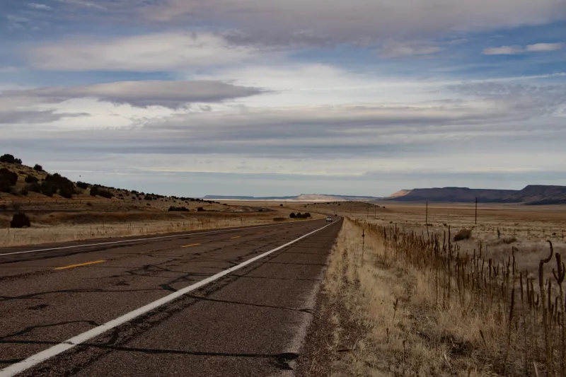
In 1890, the community needed water. This was not an unusual problem in Colorado. The western half of the state is a study in optimistic settlement patterns — towns planted in places where water is somewhere between scarce and theoretical — and the solution, almost universally, was irrigation infrastructure.
A surveyor was hired. Maps were drawn. A site was selected for a modest earthen dam that would capture seasonal runoff and redirect it into a reservoir serving the valley's farmland. Construction began the following spring.
The problem, invisible to everyone involved at the time, was that the surveyor had misread the topographical data. The contour lines on his working maps — hand-drawn, in an era before standardized cartographic conventions were universally applied — indicated a drainage gradient that pointed in one direction. The actual gradient pointed in another. It was a subtle error, the kind that's embarrassing in retrospect and genuinely easy to make when you're working from paper maps in a landscape that looks, from ground level, more or less flat.
The dam was built. The reservoir began to fill. And it filled into the adjacent valley — not the one the engineers had intended to flood.
Thirty Years of Accidental Success
Here is the part that takes a moment to absorb: it worked.
The adjacent valley, as it happened, had a soil composition and a natural drainage relationship to the surrounding farmland that made it, arguably, a better reservoir site than the originally intended location. Water held well. Evaporation rates were manageable. The distribution channels that had been dug to connect the reservoir to the fields were slightly longer than planned, but functional.
Farmers irrigated. Harvests came in. The community grew, modestly but steadily, through the 1890s and into the early 1900s. Nobody was studying the original survey documents on a regular basis. Why would they? The water was there. The system worked.
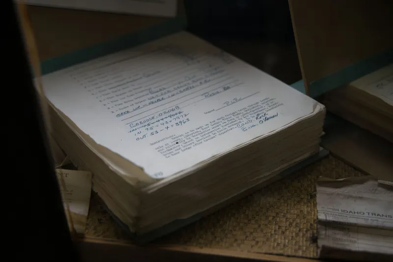
It wasn't until 1921, when a state water engineer arrived to conduct a routine capacity assessment ahead of a proposed expansion, that anyone sat down with the original 1890 survey maps and compared them carefully against the actual landscape.
His notes from that visit, preserved in state archives, are a masterpiece of bureaucratic understatement. He wrote, in part, that there appeared to be "a meaningful discrepancy between the documented intent of the original construction and the realized geography of the completed works."
In plain English: they built it in the wrong place.
The Choice Nobody Wanted to Make
Once the error was formally documented, the community faced a genuinely strange decision.
On one hand, the "correct" valley — the one the original engineers had actually intended to flood — was still available. Theoretically, a second project could redirect water there, and the original vision could be belatedly realized.
On the other hand, the existing reservoir was functional, established, and had thirty years of operational history behind it. The farmland around it had been developed in relationship to where the water actually was, not where it was supposed to be. Dismantling or abandoning a working system to build the right system in the right place would cost money the community didn't have and solve a problem that wasn't, by any practical measure, a problem.
They kept the dam.
The state water engineer noted the discrepancy in his report, recommended no corrective action, and the file was quietly closed. The expansion project moved forward based on the actual geography rather than the intended one.
What This Says About How Things Get Built
America's infrastructure has always had a complicated relationship with improvisation. The country was built fast, often by people working at the edge of available knowledge, with tools and methods that were good enough rather than perfect. Some of those improvisations became disasters. Some of them became the foundation for things that lasted a century.
The Colorado dam story sits in an unusual category: an error that produced an outcome indistinguishable from success. The farmers didn't care which valley was supposed to hold the water. They cared whether the water was there. It was.
There's also something worth sitting with in the thirty-year gap between mistake and discovery. The people who built the dam were long gone by 1921. The surveyor who misread the maps never knew his error had been quietly corrected by geography. The community that lived with the results never experienced a single day of inconvenience from the mistake.
The only people who ever had to deal with it were the ones who went looking.
A Lesson the Engineers Didn't Ask For
If there's a moral here — and infrastructure stories don't always have one — it might be this: sometimes the gap between what you planned and what you built is less important than whether what you built actually works.
That's not an engineering principle anyone would teach in a classroom. But somewhere in Colorado, a reservoir full of water that was never supposed to be there spent thirty years quietly proving it anyway.