Postmarked: Peak. How a Prairie Town's Clerical Blunder Put a Colorado Mountain in a Kansas ZIP Code
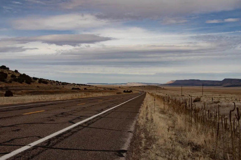
Kansas is not known for its mountains. This is not an insult — it's geography. The western half of the state is so flat that locals joke you can watch your dog run away for three days. So it came as some surprise, at least to the federal clerks who eventually noticed, that a small prairie community in the early 1900s had been officially linked in postal and land administration records to a named Colorado peak it had never visited, never surveyed, and almost certainly never heard of.
The story starts, as so many great American absurdities do, with two neighbors who couldn't get along.
The Dispute Nobody Should Have Cared About
Sometime around 1903, two small Kansas communities — situated close enough together that their mail regularly ended up in the wrong sack — began a low-grade feud over postal routing. The exact names of the towns have been obscured across various archival retellings, but the mechanics of the dispute are well-documented in regional postal administration files from the era.
The problem was simple: both towns had similar-sounding names, and the regional postmaster was tired of sorting out the confusion. His solution was to formally differentiate them in the federal routing ledger by appending geographic identifiers — a common practice at the time used to distinguish, say, "Springfield" from "North Springfield" or "Springfield Junction."
Here is where things went sideways.
The postmaster, working from a map that was either outdated or simply wrong, assigned one of the towns a geographic tag referencing a peak listed in a Colorado survey document that had somehow ended up bundled with Kansas territorial paperwork. Nobody caught it. The ledger entry was filed. The identifier stuck.
How a Mountain Gets Mailed to the Wrong State
Federal record-keeping in the early 1900s was, to put it charitably, a creative endeavor. The General Land Office, the Post Office Department, and various state-level agencies all maintained their own records, and they did not talk to each other with any particular urgency. Cross-referencing was done manually, infrequently, and by clerks who had approximately a thousand other things to worry about.
The Colorado peak in question — a modest but officially named summit in the southern Rockies — appeared in land survey indexes as a reference point for territorial boundary work. When it got copied into the Kansas postal routing ledger as a geographic tag, it became, on paper, associated with a community sitting on dead-flat shortgrass prairie.
For the town itself, nothing changed. Mail came. Mail went. Residents farmed, argued, and went about their lives completely unaware that somewhere in a federal filing cabinet, their address was technically adjacent to a mountain range they'd never laid eyes on.
Stubbornness as a Preservation Strategy
What kept the error alive for nearly two decades was the same force that created it: bureaucratic inertia, compounded by human stubbornness.
At some point — records suggest around 1907 — a postal inspector flagged the inconsistency during a routine audit. His recommendation was to correct the ledger entry and reassign a proper geographic tag to the Kansas town. Straightforward enough.
Except the postmaster at the time refused.
Not out of malice, apparently, but out of a very Midwestern conviction that changing something that was technically working would cause more trouble than leaving it alone. Correspondence between the local post office and the regional office in Topeka went back and forth for months. The postmaster argued that the identifier, however geographically nonsensical, had been in use long enough that altering it would create confusion in the routing system. The regional office, apparently exhausted by the argument, eventually let it drop.
The mountain stayed in Kansas. On paper.
What the Records Actually Showed
Researchers digging through postal administration archives in the mid-20th century found the error preserved in remarkable detail. The ledger entry was never formally corrected during the original postmaster's tenure. It survived at least two subsequent audits without being flagged again — possibly because the clerks conducting those audits assumed someone had already looked into it and decided it was fine.
The Colorado peak, meanwhile, continued to exist in Colorado, entirely indifferent to its bureaucratic reassignment.
It wasn't until a comprehensive federal land records reconciliation effort in the early 1920s — part of a broader push to clean up the chaos left by decades of overlapping territorial and state-level documentation — that the error was finally, quietly corrected. No announcement was made. No newspaper covered it. The mountain was returned to Colorado on paper, and the Kansas town received a properly regional geographic tag.
Neither party seems to have noticed.
Why This Story Is Better Than It Has Any Right to Be
On the surface, this is a story about a typo. A map got mixed up, a ledger got a wrong entry, and a bureaucratic argument kept the mistake alive longer than it should have lived.
But there's something genuinely delightful about the image it conjures: a community of farmers and shopkeepers, going about their entirely horizontal lives, technically holding a federal geographic association with a mountain they could not see, had never climbed, and would have found deeply confusing if anyone had bothered to tell them.
It's also a reminder that the official map of America — the one that feels permanent and authoritative — has always been partly a product of human error, stubbornness, and the occasional clerical shrug. The borders and names and designations we treat as fixed facts were, at various points, written down by tired people working from incomplete information.
Sometimes a mountain ends up in Kansas. And for nearly twenty years, nobody minded enough to move it back.